Skip to content
Skip to footer
Site Menu
Academics
Academic Programs
Major
Minor
Master’s
Doctoral
Undergraduate Certificate
Graduate Certificate
Pre-Professional
Students
Students Overview
Future Undergraduate Students
Current Undergraduate Students
Future Graduate Students
Current Graduate Students
Research
News & Events
News & Events Overview
Events
In Focus Magazine
Research News
Alumni News
About the College
Contact
Request Info
Visit
Apply
For Faculty / Staff
Give
UWM.edu
University of Wisconsin-Milwaukee
College of Letters & Science
Site Search
Search for:
Search
Search collection
This site
All UWM
L&S
Academic Programs
All Letters & Science Academic Programs
Search Programs:
Filter By:
Reset Filters
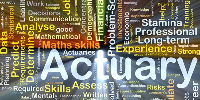
Actuarial Science
Major, Minor, Master's, Doctoral
On Campus
Program Details
African and African Diaspora Studies
Major, Minor, Master's, Doctoral
On Campus
Program Details
American Indian Studies
Undergraduate Certificate
On Campus
Program Details
Anthropology
Major, Minor, Master's, Doctoral
On Campus
Program Details
Applied Mathematics and Computer Science
Major
On Campus
Program Details
Arabic
Minor
On Campus
Program Details
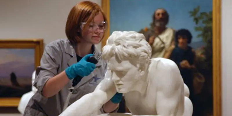
Art History
Major, Minor, Master's
On Campus
Program Details
Asian Studies
Undergraduate Certificate
On Campus
Program Details
Biochemistry
Major
On Campus
Program Details
Biological Sciences
Major, Minor, Master's, Doctoral
On Campus
Program Details
Business German
Minor
On Campus
Program Details
Business of Media & Film
Undergraduate Certificate
On Campus
Program Details
Celtic Studies
Undergraduate Certificate
On Campus
Program Details
Chemistry
Major, Minor, Master's, Doctoral
On Campus
Program Details
Childhood & Adolescence Studies
Undergraduate Certificate
On Campus
Program Details
Chinese
Major, Minor
On Campus
Program Details
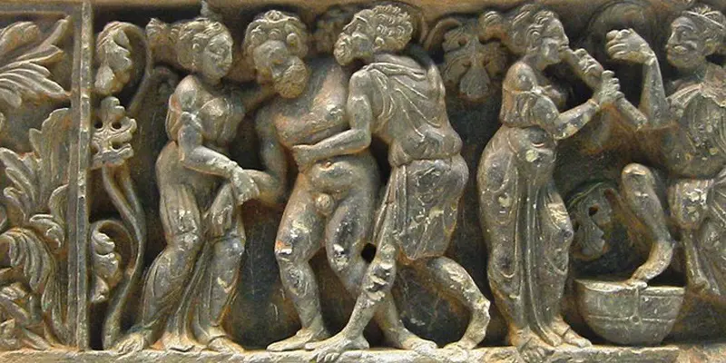
Classics
Major, Minor
On Campus
Program Details
Committee Interdisciplinary Major
Major
On Campus
Program Details
Communication
Major, Minor, Master's, Doctoral
On Campus, Online
Program Details
Comparative Ethnic Studies
Major, Undergraduate Certificate
On Campus
Program Details
Comparative Literature
Major, Minor
On Campus, Online
Program Details
Conservation and Environmental Science
Major, Minor
On Campus
Program Details
Cultures and Communities
Undergraduate Certificate
On Campus
Program Details
Data Analytics
Major
On Campus
Program Details
Data Science
Major, Master's
On Campus
Program Details
Death Investigation
Undergraduate Certificate
On Campus
Program Details
Digital Arts & Culture
Major, Undergraduate Certificate
On Campus
Program Details
Economics
Major, Minor, Master's, Doctoral
On Campus, Online
Program Details
English
Major, Minor, Master's, Doctoral
On Campus, Online
Program Details
English: Writing, Editing, and Publishing
Minor
On Campus
Program Details
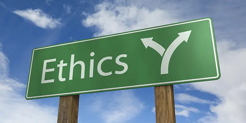
Ethics, Values, and Society
Undergraduate Certificate
On Campus
Program Details
Film Studies
Major, Minor
On Campus
Program Details
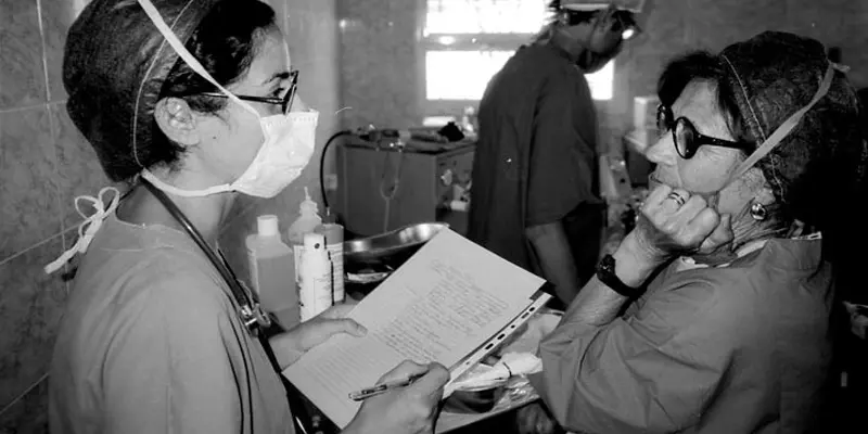
Forensic Science
Undergraduate Certificate
On Campus
Program Details
Forensic Toxicology
Undergraduate Certificate
On Campus
Program Details
French
Major, Minor
On Campus
Program Details
General Letters
Major
On Campus, Online
Program Details
Geographic Information Systems
Graduate Certificate
On Campus
Program Details
Geography
Major, Minor, Master's, Doctoral
On Campus
Program Details
Geosciences
Major, Minor, Master's, Doctoral
On Campus
Program Details
German
Major, Minor
On Campus
Program Details
Global Health
Undergraduate Certificate
On Campus
Program Details
Global Studies
Major, Minor
On Campus
Program Details
History
Major, Minor, Master's, Doctoral
On Campus, Online
Program Details
Hmong Diaspora Studies
Undergraduate Certificate
On Campus
Program Details
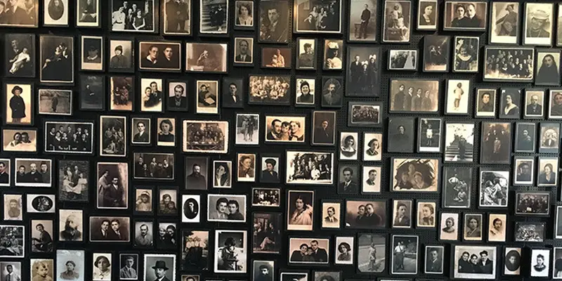
Holocaust, Genocide, and Human Rights Studies
Undergraduate Certificate
On Campus
Program Details
Human Resources and Labor Relations
Master's
On Campus
Program Details
International Studies
Major
On Campus
Program Details
Italian
Major, Minor
On Campus
Program Details
Japanese
Major, Minor
On Campus
Program Details
Jewish Studies
Major, Minor
On Campus, Online
Program Details
Journalism, Advertising, and Media Studies
Major, Minor
On Campus
Program Details
Korean Studies
Minor
On Campus
Program Details
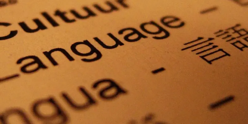
Language, Literature, and Translation
Master's
On Campus
Program Details
Latin American, Caribbean and U.S. Latinx Studies
Major
On Campus
Program Details
Latinx Studies
Undergraduate Certificate
On Campus
Program Details
Lesbian, Gay, Bisexual, & Transgender Studies
Undergraduate Certificate
On Campus
Program Details
Linguistics
Major, Minor, Master's, Doctoral
On Campus
Program Details
Mathematical Sciences
Major, Minor, Master's, Doctoral
On Campus
Program Details
Mediation and Negotiation
Graduate Certificate
On Campus
Program Details
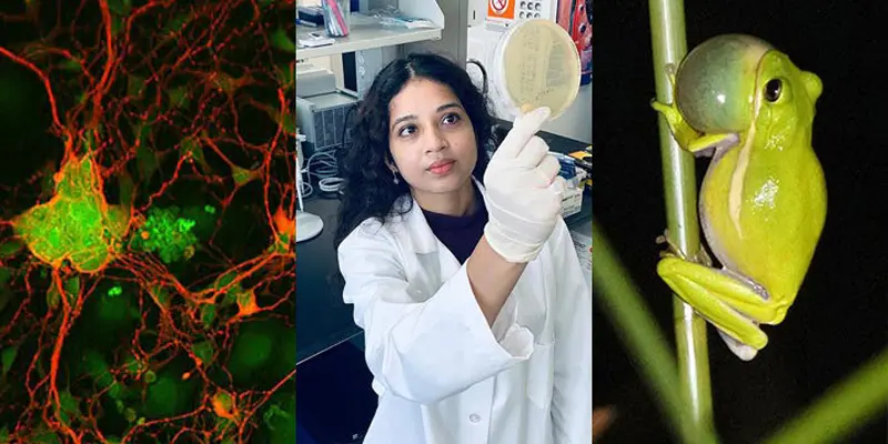
Microbiology
Major
On Campus
Program Details
Middle Eastern & North African Studies
Undergraduate Certificate
On Campus
Program Details
Museum Studies
Graduate Certificate
On Campus
Program Details
Neuroscience
Major
On Campus
Program Details
Philosophy
Major, Minor, Master's
On Campus
Program Details
Physics
Major, Minor, Master's, Doctoral
On Campus
Program Details
Political Science
Major, Minor, Master's, Doctoral
On Campus, Online
Program Details
Portuguese
Minor
On Campus
Program Details
Pre-Anesthesiologist Assistant
Pre-professional
On Campus
Program Details
Pre-Chiropractic
Pre-professional
On Campus
Program Details
Pre-Dentistry
Pre-professional
On Campus
Program Details
Pre-Law
Pre-professional
On Campus
Program Details
Pre-Medicine
Pre-professional
On Campus
Program Details
Pre-Optometry
Pre-professional
On Campus
Program Details
Pre-Pathologist Assistant
Pre-professional
On Campus
Program Details
Pre-Pharmacy
Pre-professional
On Campus
Program Details
Pre-Physician Assistant
Pre-professional
On Campus
Program Details
Pre-Podiatry
Pre-professional
On Campus
Program Details
Pre-Veterinary
Pre-professional
On Campus
Program Details
Psychology
Major, Minor, Master's, Doctoral
On Campus, Online
Program Details
Public and Nonprofit Administration
Master's, Graduate Certificate
On Campus
Program Details
Quantitative Social Data Analysis
Undergraduate Certificate
On Campus
Program Details
Religious Studies
Major, Minor
On Campus
Program Details
Russian
Major, Minor
On Campus
Program Details
Russian & East European Studies
Undergraduate Certificate
On Campus
Program Details
Sociology
Major, Minor, Master's, Doctoral
On Campus, Online
Program Details
Spanish
Major, Minor, Master's
On Campus
Program Details
Spanish for Health Professionals
Undergraduate Certificate
On Campus
Program Details
Translation and Interpreting
Master's, Graduate Certificate
On Campus, Online
Program Details
Urban Studies
Major, Master's, Doctoral, Undergraduate Certificate
On Campus
Program Details
Women’s and Gender Studies
Major, Minor, Master's, Graduate Certificate
On Campus
Program Details