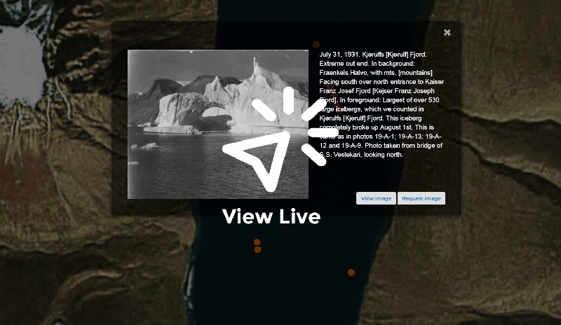
The Louise Arner Boyd Webmap serves as a discovery tool for exploring photos taken by Louise Arner Boyd during a 1931 expedition to East Greenland. The concept was conceived of by Susan Peschel, Visual Resources Librarian at the Society Library. Peschel identified this collection of photos as unique, in that they are accompanied by a hand-drawn manuscript map marking where each photograph was taken. These annotations correspond to annotations on the backs of the photos in the Society Library’s archives, making this project perfect for viewing in a spatial web app.
The app was built by GIS Intern Belle Lipton, under the guidance of Intern Ben Schroeder, with the focus of augmenting skills to develop historic discovery tools for libraries. It was created using Leaflet, jQuery, and Bootstrap, and was accelerated with help from Susan Dykes (metadata creation), and the Digital Humanities department of the UWM Libraries (digitization of the photos). The code is annotated and available for viewing on Github .