These projects use GIS and Web Mapping technology to discover AGSL’s unique collections in a new way.
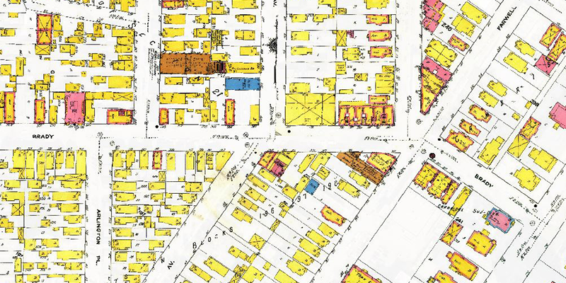
View digitized and georeferenced Sanborn Fire Insurance Maps of Milwaukee from 1910. A seamless version of this invaluable resource was made possible by a collaboration with the Milwaukee County Land Information Office.
By Belle Lipton and Lauren Winkler
Sanborn Maps of MilwaukeeBy Belle Lipton and Lauren Winkler

Join Socialite-Explorer Louise Arner Boyd on an expedition to East Greenland. View the photos within the map while comparing them to Boyd’s manuscript map of the area.
By Belle Lipton and Ben Schroeder
Louise Boyd Photo FinderBy Belle Lipton and Ben Schroeder
Discover unique and antique nautical charts published around the world. This application allows you to view high-resolution, zoomable scans of the charts within the application.
By Bob Cowling
Nautical Chart ExplorerBy Bob Cowling
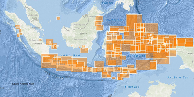
Access records from our unique Geodex system, software developed at the AGSL in the 1980s for rapid cataloging of large paper map series. A great resource for genealogists or anyone searching for large scale maps within series.
By Ben Schroeder
Geodex Web MapBy Ben Schroeder
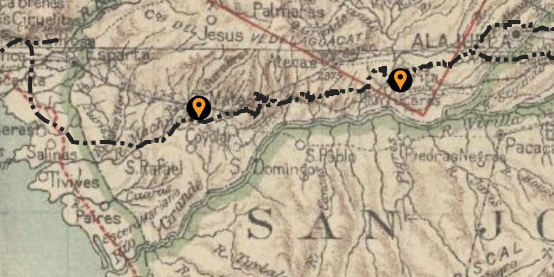
This discovery application surveys the railway networks of Central America and Cuba as
documented through
digitized historical maps and photos from the AGSL’s Americas collection.
By Elliott DeGuilme
Railways of Central America and Cubadocumented through
digitized historical maps and photos from the AGSL’s Americas collection.
By Elliott DeGuilme
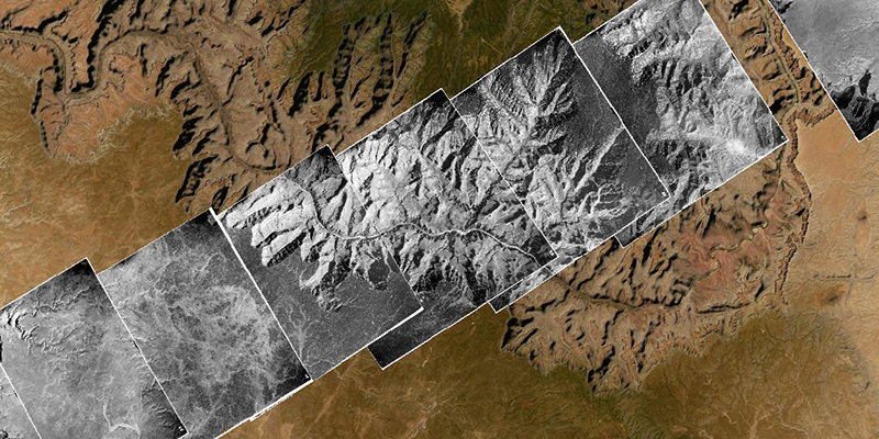
Experience an aerial photography project that stretches from Ventura, CA to Long Island, NY in 1948 from an experimental aircraft. View the entire flight or jump to points of interest such as Las Vegas, The Grand Canyon, and NYC.
By Emmanuel Okoro
Operation Bird’s EyeBy Emmanuel Okoro

Use this apps to find specific aerial photo frames in our Wisconsin collections. The app does not provide download access, but can help you identify what years and frames cover your area of interest. Use the data request form to request images you discover!
By Bob Lackage
Note: This application is no longer being supported or updated. Please see the SCO Air Photo Catalog.
Aerial Photo FinderBy Bob Lackage
Note: This application is no longer being supported or updated. Please see the SCO Air Photo Catalog.