The American Geographical Society Library (AGSL) contains many different formats of materials. Below are pages about each:

The Digital Collections at the UWM Libraries include photographic images, maps, atlases, and books from the collections of the AGSL.
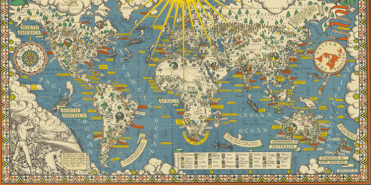
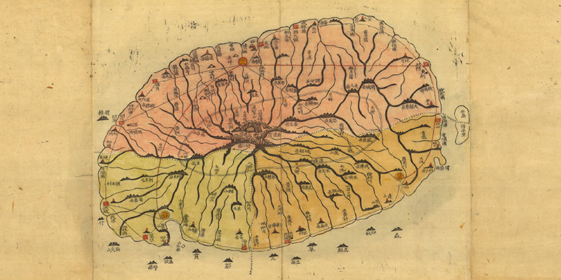
The AGSL has an extensive cartographic collection including maps, wall maps, atlases, charts, raised relief 3d maps, and globes.
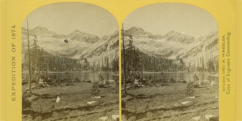
A large part of the AGSL is an extensive photographic collection with images in a variety of formats. Some of the larger collections include polar photographs, Western United States photographs, and the collection of Harrison Forman.
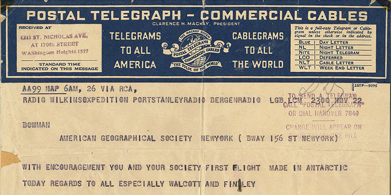
The AGSL owns and cares for a number of important archival and manuscript collections in the field of geography and history.
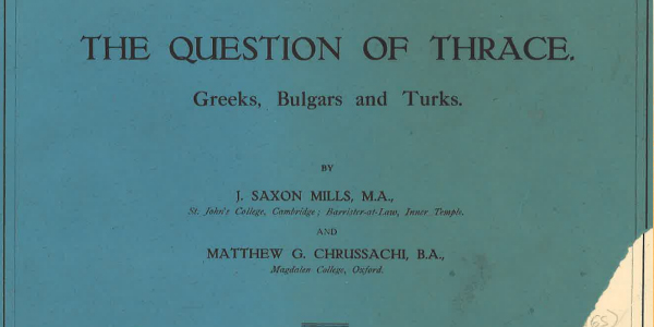
Items in our pamphlet collection include accounts of historic events, biographies of renowned geographers written by their contemporaries, articles of geographical philosophy written by their exponents, and impressions and descriptions of many nineteenth-century explorations by key participants.

The AGSL offers GIS and geospatial data services and maintains a collection of digital geospatial data including vector and raster GIS data, digital aerial photography, satellite imagery, and more.
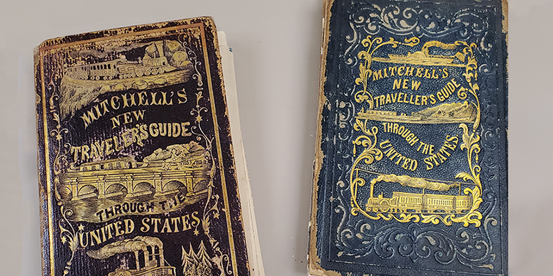
The AGSL books and journals collection includes rare books, non-circulating books, and circulating books.
Learn more information about how we preserve our rare materials and how you can view them.