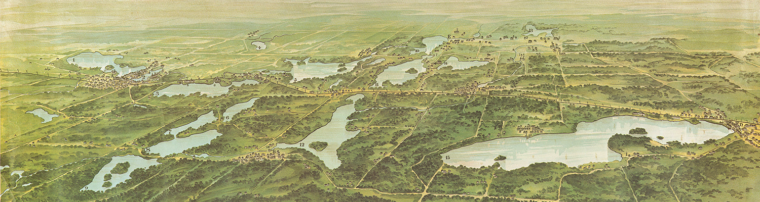
American Geographical Society Library
The American Geographical Society Library (AGSL) was established in 1978 when the research collections of the American Geographical Society (AGS) moved, and ownership was transferred, to the University of Wisconsin-Milwaukee. From the late nineteenth into the mid-twentieth centuries, the AGS led the nation in the collection and distribution of geographic information through involvement in important events in history, from assisting with the United States’ effort to prepare for and participate in the Paris Peace Conference at the end of World War I to leading an effort to map the world at the 1:1,000,000 scale.
By the middle of the twentieth century, the AGS had compiled a cartographic collection that held items such as maps, atlases, globes, a library with an internationally focused monograph and serial collection, and a burgeoning photograph and film negative collection. Following World War II, these collections comprised more than 500,000 items. The collections have thrived at UWM and today, the AGSL consists of nearly 2 million items including maps, atlases, globes, photographs, monographs, serials, and digital geospatial data.
Geospatial Data
Learn about GIS, request data, & use our interactive discovery application.
Digital Collections
Search our Digital Collections for AGSL Materials.
Upcoming events
April 30, 2026 – Maps & America: The Arthur Holzheimer Lecture Series
The Maps & America: The Arthur Holzheimer Lecture Series will continue with speaker Dr. Julio Pedrassoli, Associate Professor at University of São Paulo (USP), Adjunct Professor – Western Michigan University (WMU), & MapBiomas Urban Area Mapping Team Coordinator.
Register for In-person Attendance
Register for Virtual Attendance
About the speaker:
Julio Pedrassoli is a remote sensing scientist and geographer, holding a PhD in Human Geography from the University of São Paulo (USP). His research focuses on mapping urban expansion and housing–poverty dynamics in the Global South. He is an Associate Professor at USP and Adjunct Professor at Western Michigan University (WMU). In 2025, he was selected for the NASA Lifelines – Ready for Impact program, proposing a tropical-scale urban risk mapping system. A former Research Scholar at Columbia University’s Lamont-Doherty Earth Observatory, he develops advanced methods for mapping informal settlements. He serves on the Steering Committee of the IGU Urban Commission, is part of the coordination of the Network Association of European Researchers on Urbanisation in the South (N-AERUS) and leads urban mapping within the MapBiomas initiative.
About the lecture:
Dr. Pedrassoli will lecture about his work with MapBiomas, where he is the urban mapping specialist. MapBiomas is a Brazilian-founded initiative that uses cloud computing, machine learning, and decades of satellite imagery to produce large‑scale, time‑series environmental maps. Dr. Pedrassoli will also analyze the societal impacts of organizing mapping through a broad collaborative network of academics, nongovernment organizations, tech companies, and civil society. Through the lens of counter-cartography, the lecture examines how such an arrangement shapes data transparency, methodological openness, and the public circulation of territorial information, particularly in deforestation, land-use change, climate governance, and land conflicts. The Brazilian experience is finally situated as a reference model that has been replicated across South America and the tropical world as a source of institutional and methodological innovation in cartographic practice.
If you would like to help support the AGSL’s preservation efforts, you can donate here. Just choose “other funds” under designations and search or scroll to find the AGSL.
Follow us on social media
Hours:
Monday – Friday: 9am – 4:30pm
Address
Golda Meir Library
Third Floor East Wing
2311 E Hartford Ave.
Milwaukee WI 53211
Contact
(414) 229-6282
agsl@uwm.edu
gisdata@uwm.edu