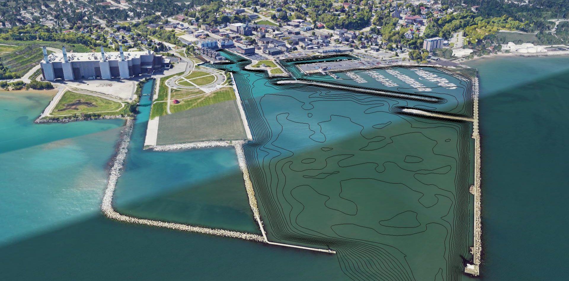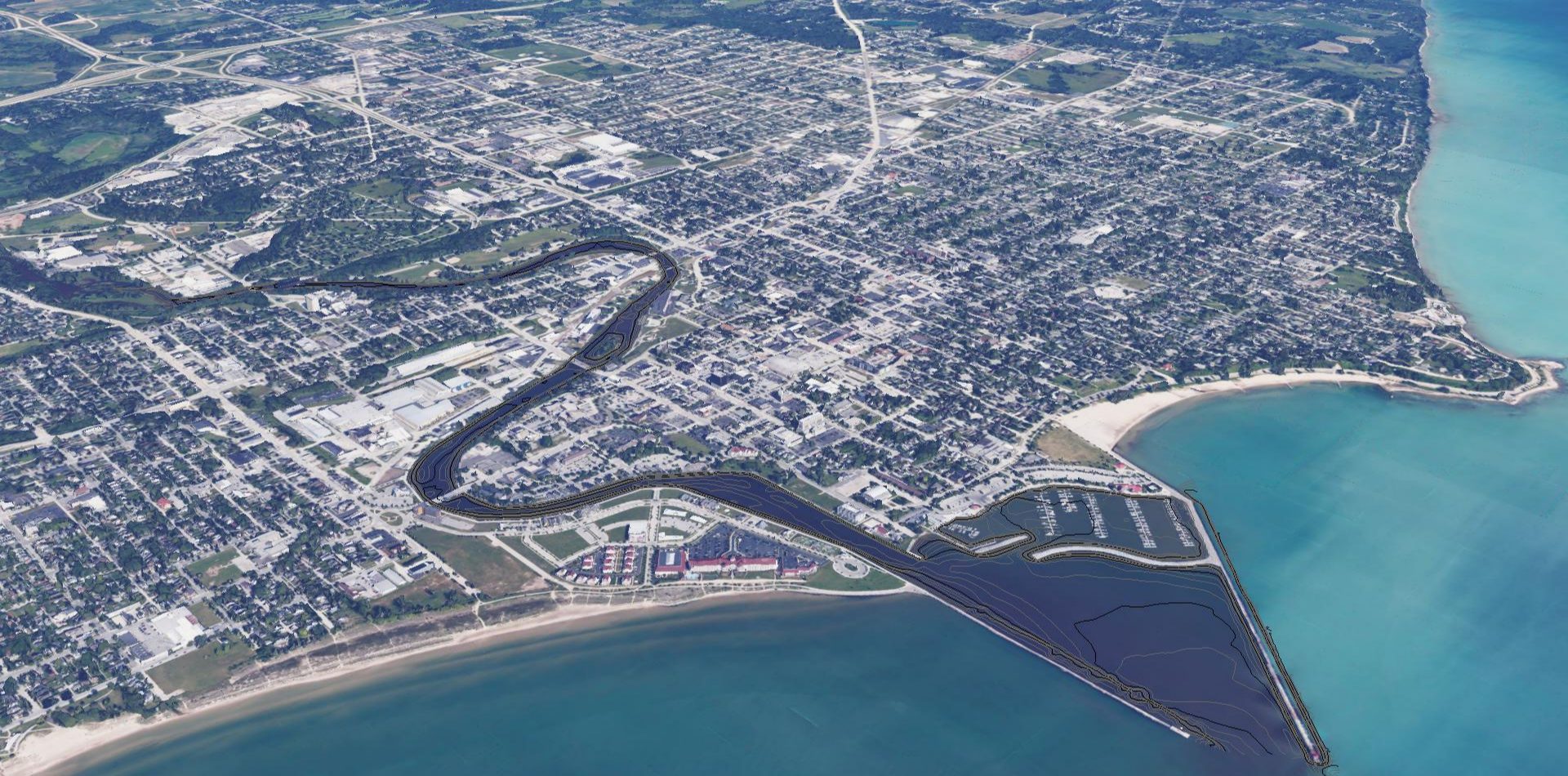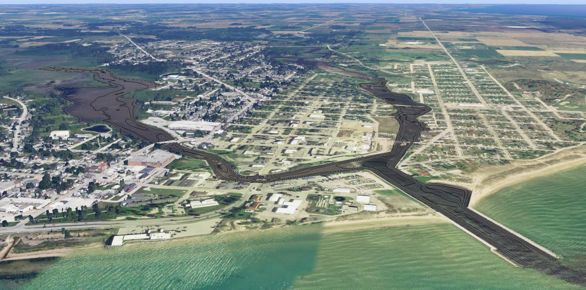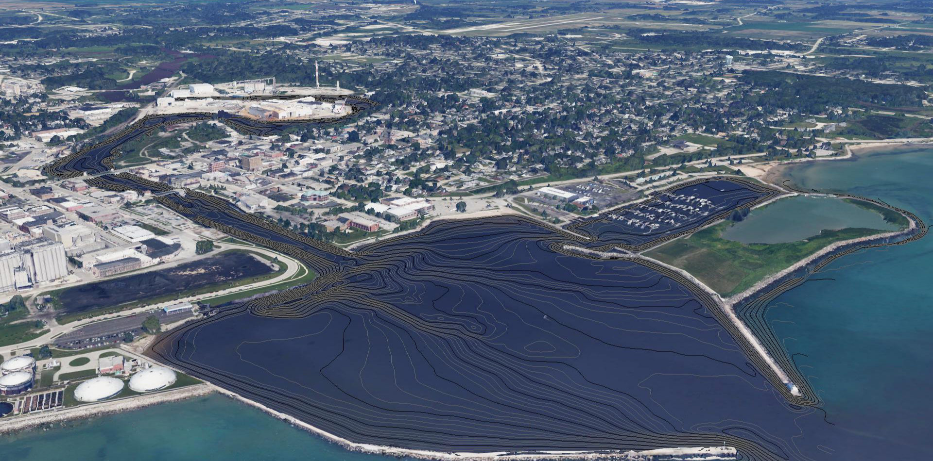
With the Milwaukee Harbor Mapping project moving into the graphic design phase, the Fund for Lake Michigan funded a second mapping project. This new project focuses on mapping fish spawning and foraging habitat in the Lake Michigan harbors of the Wisconsin communities Port Washington, Sheboygan, Manitowoc and Two Rivers.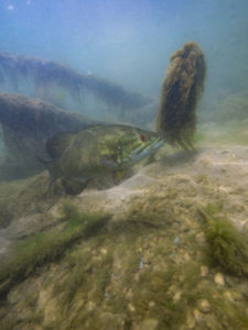
Each of the four harbors is smaller than the Milwaukee Harbor, with smaller river input. The diversity of size of the several proposed harbors along with Milwaukee affords an opportunity for deeper understanding of how these “manufactured” ecosystems function. Each harbor at its current state has lost its original coastal wetland due to conversion of multiple purposes with significant industry influence. The maps will help stakeholders in each community to enhance ecosystem services so that diverse recreational opportunities—and a recreational economy—can flourish alongside the industries that employ area residents.
The project runs from 2018 through 2021. As with the Milwaukee Harbor project, both technical Graphical Information System (GIS) maps and more accessible public maps will be produced.
