Charting Life Under Water
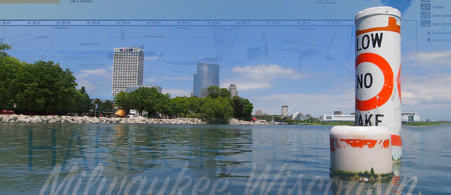
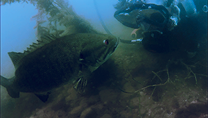
Researchers from the School of Freshwater Sciences mapped 42 miles of Milwaukee’s lower estuary, where Lake Michigan meets the city’s southern waterways, to find the homes of freshwater fish. Designed by Associate Professor Kim Beckmann, the resulting maps show wildlife teeming below the surface of this industrial harbor. The maps are educating the public and supporting clean-up efforts throughout the area, as activities are underway to connect and expand the “habitat hotspots” researchers discovered.
See the MapsGet Maps
Order copies or find out where they are on display. Educators and wildlife restoration groups can obtain maps free of charge.
Order TodayHow Maps Are Helping Restore the Harbor
The Milwaukee Harbor is an EPA “area of concern” because of its high levels of industrial waste. As governmental agencies, researchers and nonprofits seek to get our harbor off that list, the maps on this page help them identify which interventions will be most effective. The harbor maps also spurred the creation of a consortium of organizations that can take on large-scale improvement projects and fueled additional grant proposals to map more areas and expand habitats. Finally, the maps are being distributed to the public to inspire residents and visitors to be stewards of our local ecosystem.
