Most bridge failures in the U.S. are related to water. In a process called “scour,” rushing rivers during storm events wash away the soil around bridge piers and abutments, weakening the structures from below.
Engineers use national formulas to estimate how much erosion might occur during strong river flows. But those formulas often predict deeper erosion than actually happens.
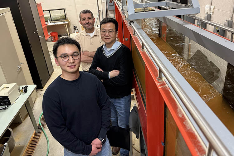
“Field measurements have shown that the formulas often overestimate scour depths, potentially leading to overdesign and unnecessary costs,” said Qian Liao, professor, civil & environmental engineering.
With a $299,993 grant from the Wisconsin Department of Transportation, Liao and Hani Titi, professor, civil & environmental engineering, aim to make bridges across the state safer – and potentially less expensive to maintain.
Recent historic flooding in Milwaukee
The researchers will study about 30 bridges to measure how scour behaves in Wisconsin’s rivers, many of which have sandy, shifting riverbeds.
They will also focus on devising a method to predict which bridges are most vulnerable, Liao said.
“Scour is a ‘big event’ problem, usually occurring only during extreme flooding,” he said.
“We focus our research on bridges that have faced at least 70% of a 100-year flood level.”
After the record-breaking storm in Milwaukee last August, the team is currently investigating two bridge sites within Milwaukee County to capture that critical data.
Studying evidence of past events
It is challenging and dangerous to collect data during a storm event. Instead, Liao said, he and Titi will look for evidence of past scour events. These past events can be identified by measuring scour depths, collecting soil and sediment samples on the riverbed, and understanding the geometry of the bridge foundations.
Using tools such as sonar, ground-penetrating radar, and a sub-bottom profiler, researchers will look for buried evidence of past erosion and track how riverbeds change over time.
They can then compare what they observe to current national risk formulas and, with the help of machine learning, create improved prediction charts tailored specifically to Wisconsin conditions.
“Current formulas rely on a mix of physics and lab experiments that often fail to capture the complex reality of a shifting riverbed,” Liao said. “Using machine learning, we can connect measurable factors into a smart model that more accurately maps these potential erosion risks.”
The result could help engineers improve the design of bridge foundations, making the most of limited public funding without sacrificing safety.