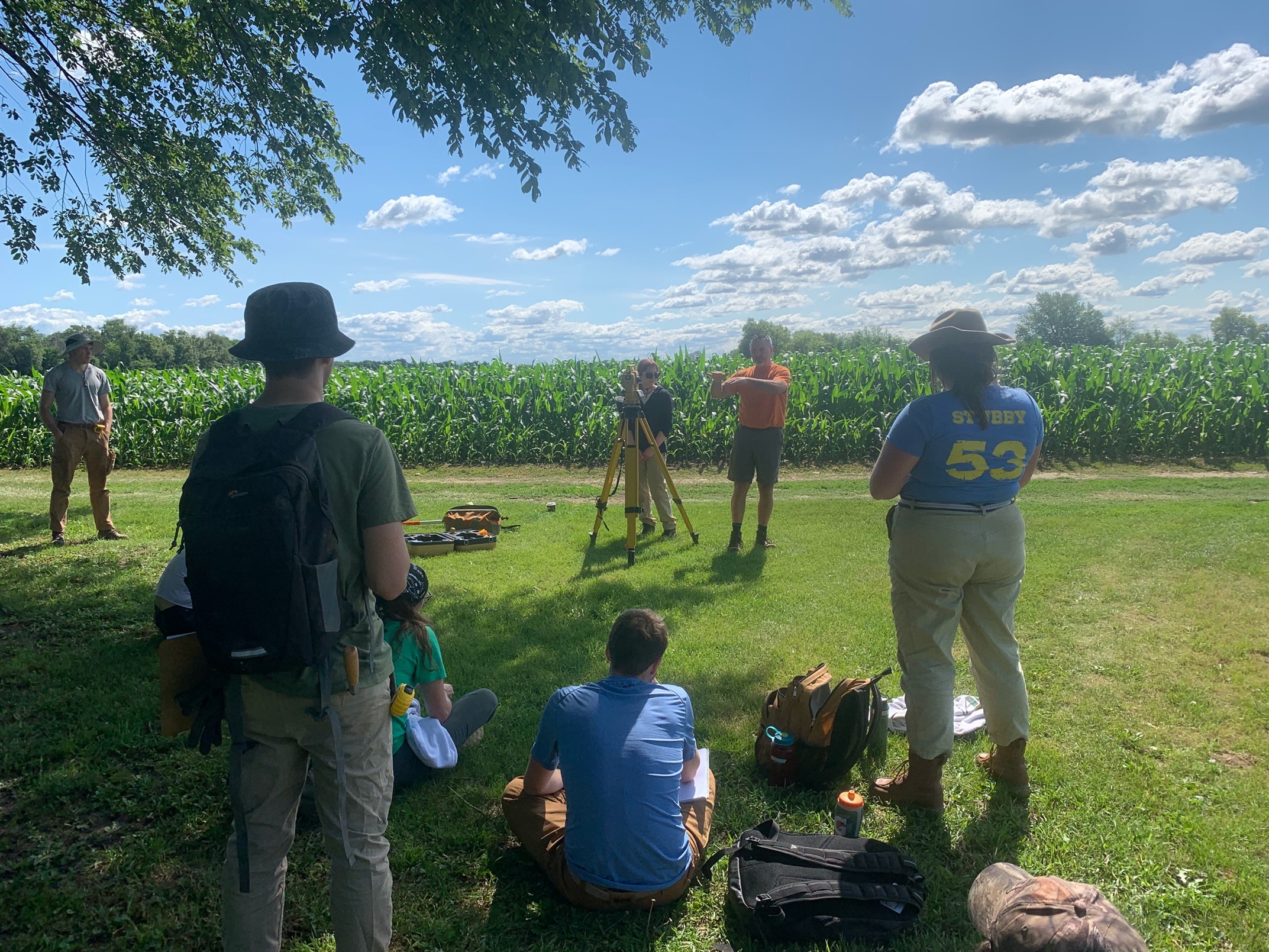
Brian Nicholls instructing the field school students on the use of the Total Data Station (TDS) to use for mapping an archaeological site.
Figure 1. Brian Nicholls instructing the field school students on the use of the Total Data Station (TDS) to use for mapping an archaeological site.