Week Four of the 2021 UW-Milwaukee Archaeological Field School
During the fourth week the students in the archaeological field school completed the controlled horizontal and vertical excavations within the excavation units started in week three. Excavations were stopped at the top of the B horizon just under the plowzone, approximately 30 cm or 1 ft deep. Cultural pit and post mold features were present in all eight units. Students carefully cleaned the excavation floors with a trowel to delineate the boundaries of the features. Once the floors of the units were photographed, students recorded the shapes, size, and distribution of the features by mapping them on graph paper. A wall of the unit was profiled to show the transition between the two different soil layers, the plowzone and B horizon.
Brian Nicholls, Senior Research Program Manager at UW-Milwaukee provided a lecture and demonstration on mapping archaeological sites using a Total Data Station (TDS) or Laser Transit. Students operated the instrument to record the location of each unit corner.
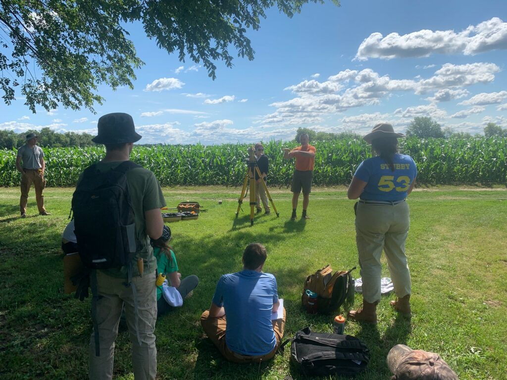
Figure 1. Brian Nicholls instructing the field school students on the use of the Total Data Station (TDS) to use for mapping an archaeological site.
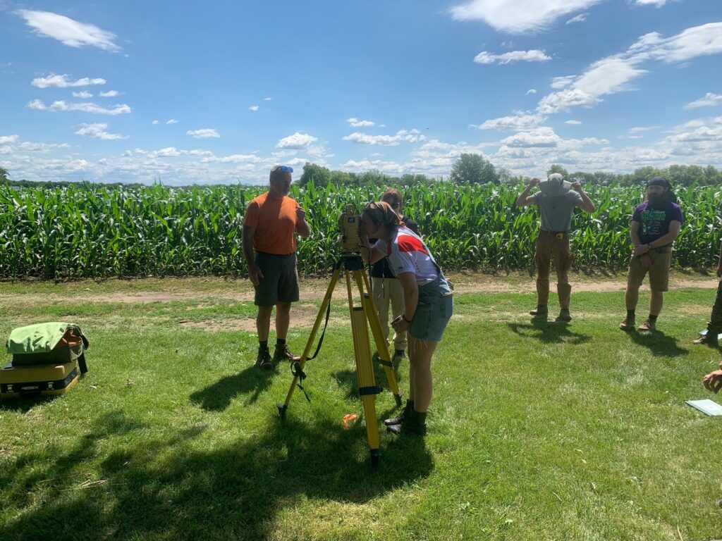
Figure 2. Allison Leyer is looking through the TDS to sight in on the prism rod to collected distance and elevation data.
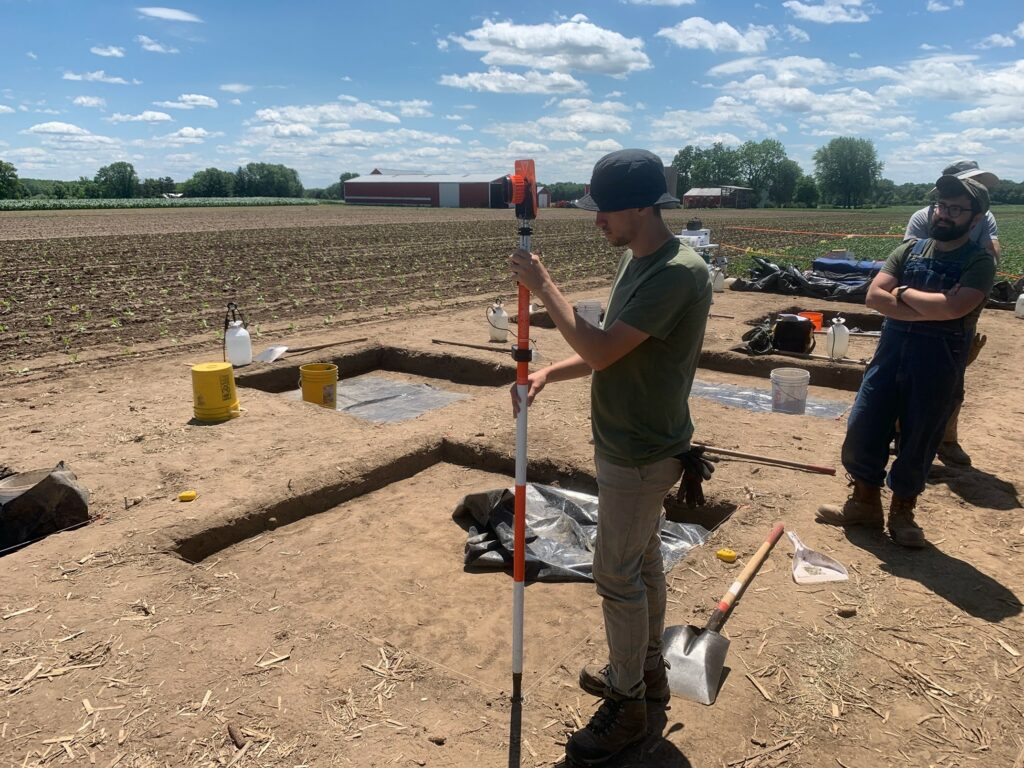
Figure 3. Justin Gleesing is holding the prism rod on the NW corner of an excavation unit while another student is operating the TDS.
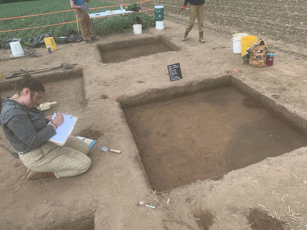
Figure 4. Erica Phillips is recording information about the excavation unit and features in her paperwork in the excavation area at the Koshkonong Creek Village site. A large pit feature is present in the lower right corner of the unit, along with several post molds.
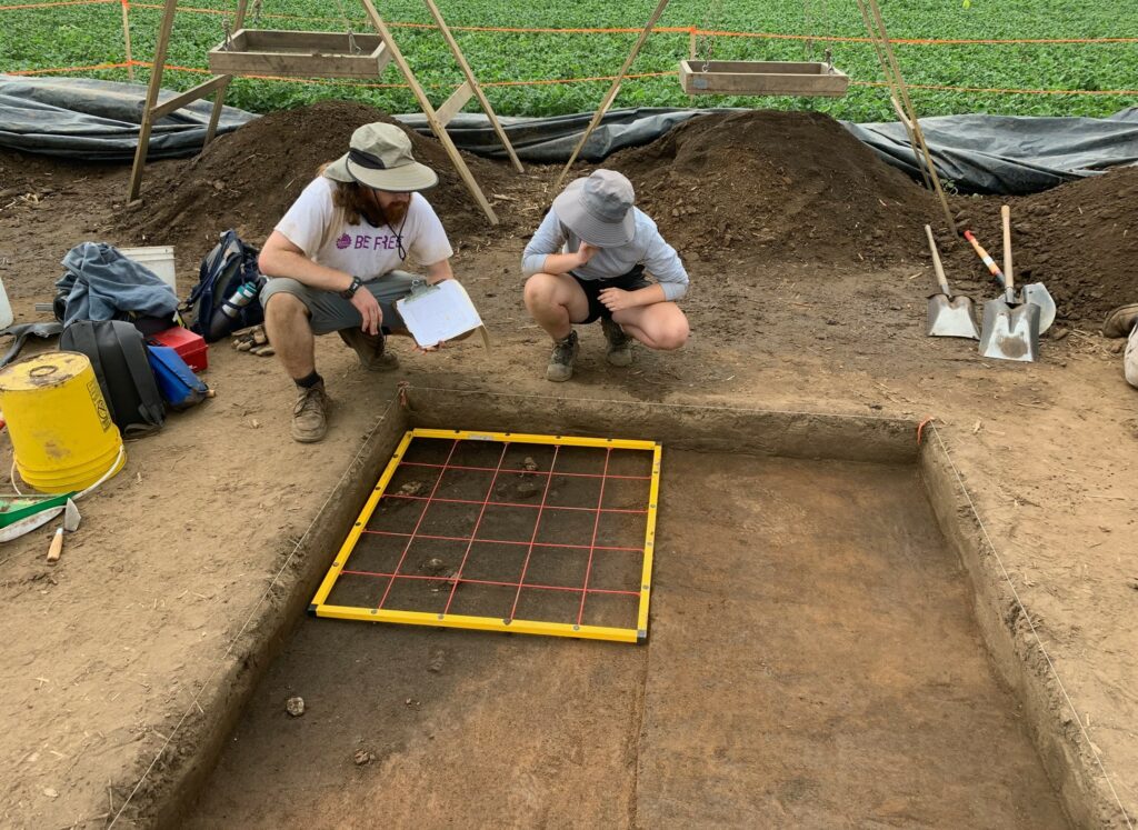
Figure 5. Megan Kriefall and Arik Scapellato are using a 1m x 1m mapping grid to draw the large pit feature on graph pater in their excavation unit.
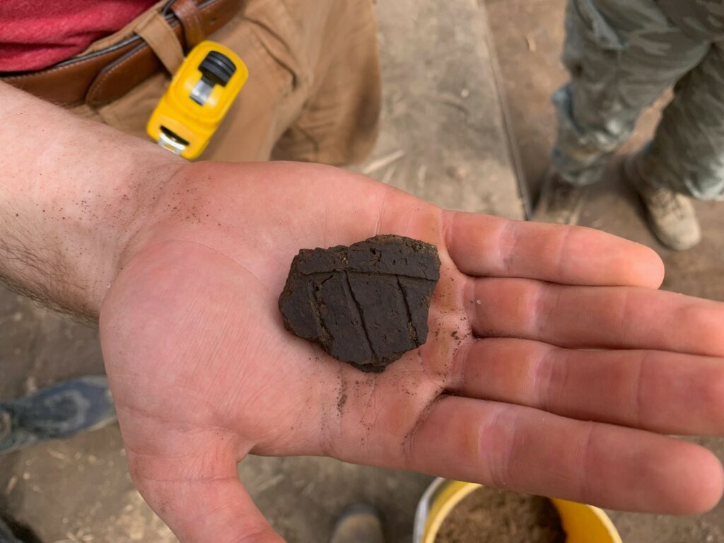
Figure 6. A large shell tempered decorated pottery sherd has two horizontal trailed lines and three angled lines underneath. Shell tempered pottery (temper means that crushed shell was mixed with clay during the pottery production) and the trailed line decoration are indicative of people that archaeologist refer to as Oneota in Wisconsin. Oneota in the Lake Koshkonong area dates from A.D. 1050-1400.