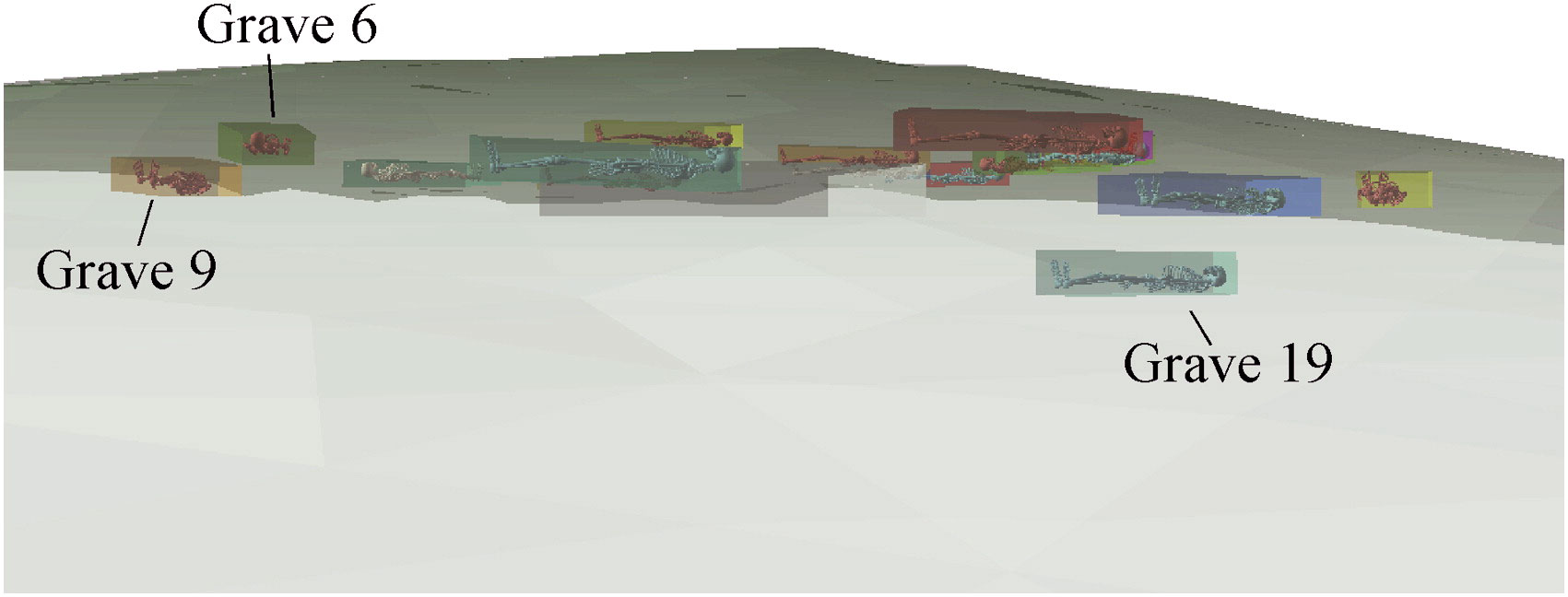
The UWM-CRM program has the experience and capabilities to provide a wide range of geospatial services, including:
- Detailed project mapping and documentation
- Geospatial data digitization and distribution
- Field site mapping using laser transit and/or handheld GPS
- Spatial analysis
- Remote sensing and Predictive modeling analysis
- LiDAR data processing and analysis
- Web-mapping application and mobile application development
Our staff has many years of experience working with and utilizing multiple types of spatial data. The UWM-CRM geospatial data team can generate project maps from existing cadastral paper maps and CAD generated datasets, to more modern shapefile or GIS database feature class datasets, as well as historic imagery and other raster data sources.
UWM-CRM GIS staff has the capabilities and experience to coordinate relevant project efforts with local, state, and federal geospatial or land information departments to assist our sponsors with multiple types and levels of cultural permitting efforts. Our geospatial staff strives to provide sponsors with professional, detailed, and accurate project mapping and documentation, including custom web-mapping products, as well as deployable spatial data in a variety of industry standard formats ready for immediate use in other spatial software and CAD software programs.
Contact Information
Brian Nicholls
email: nicholls@uwm.edu
Phone: 414-229-1171