
Mapping Brasil
March 26 @ 9:00 am - August 14 @ 4:30 pm
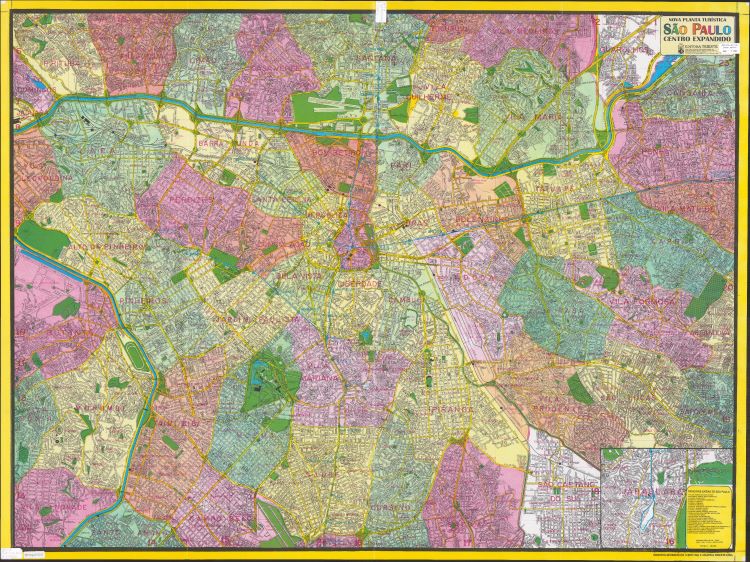
In Mapping Brasil, an exhibit in conjunction with the 2026 Maps & America: the Arthur Holzheimer Lecture Series, the American Geographical Society Library investigates cartographic traditions and innovations in Brazil. From colonial-era maps to counter-mapping projects in Rio, explore the ways cartographers have and continue to make sense of the nation on multiple scales. The key to this exhibit is the exploration of who is making these maps and for what purpose. Colonial exploration and exploitation, economic resources, and community empowerment are all represented in this snapshot of Brazil’s mapping past, present, and future.
Mapping Brasil is on view now through Aug. 14 in the American Geographical Society Library on the third floor in the west wing of the Golda Meir Library. The exhibit is free and open to the public.
Visit StoryMaps to view the digital exhibit companion for Mapping Brasil.