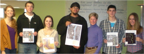
Angie Jackson (Teaching Assistant and project manager, UWM), Ben Everson (UWM), Alyssa Biersack (UWM), Chris Cooksey (UWM), Ann Brummitt (Director, Milwaukee River Greenway Coalition), David Rossiter (UWM) and Mary-Martha Kipcak (UWM).
Service learning, through the UWM Institute for Service Learning, connects students with the real world side of their coursework, bringing social and cultural issues into focus and providing significant benefits to the more than 200 local nonprofit organizations which host our students.
With the support of a Community/University Partnership (CUP) Grant for the purchase of a Portable Global Positioning System (GPS) unit, service learners will be able to contribute significantly to the Milwaukee River Greenway Coalition’s management of the Greenway, enabling students to gather accurate data on the location of invasive species, watershed boundaries, soft trails, and critical species habitat in the Greenway.
During the Fall 2012 semester, students from Geography 125 used a GPS to obtain reference points to map a number of trails along the Milwaukee River. They combined a number of sources of information into a series of maps.