American Society for Photogrammetry & Remote Sensing (ASPRS) Certification
The American Society for Photogrammetry and Remote Sensing (ASPRS) professional and technologist certification programs have each received accreditation from the Council of Engineering and Scientific Specialty Boards (CESB). CESB voted to approve accreditation for the professional Certified Photogrammetrist (CP), Certified Mapping Scientist/Remote Sensing (CMS/RS) and Certified Mapping Scientist/GIS-LIS (CMS/GISLIS) programs, along with three related technologist certification categories – Photogrammetric Technologist, Remote Sensing Technologist and GIS/LIS Technologist.
GIS Certification Institute
The GIS Certification Institute (GISCI) is a tax-exempt not-for-profit organization that provides the geographic information systems (GIS) community with a complete certification program. GISCI offers participants from the first early years on the job until retirement a positive method of developing value for professionals and employers in the GIS profession.
Esri Technical Certification
The Esri Technical Certification Program recognizes qualified individuals who are proficient in best practices for using Esri software. Esri Technical Certifications are awarded in different areas of expertise at both an Associate and Professional level. The program is open to Esri users worldwide.
Professional GEOINT Certification
The United States Geospatial Intelligence Foundation (USGIF) is building a Professional GEOINT Certification program to serve all members of the global GEOINT Community. This professional certification will encompass the broad range of geospatial science and technology competencies required of contemporary GEOINT practitioners.
The Foundation is also cultivating partnerships worldwide with a number of existing professional certification organizations to develop a transportable, transparent Professional GEOINT Certification that is applicable within U.S. Defense, Intelligence and Homeland Security Community as well as the civilian and international communities.
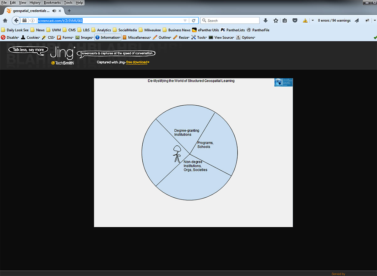
Watch a short video Demystifying the World of Geospatial Credentials.