Digitization
The Milwaukee Neighborhoods digital collection was built in 2003. 832 images in various formats and medium were selected for scanning. The color slides in the Harold Mayer Collection were scanned at 4,000 dpi resolution using a Nikon 4000 ED film scanner. The glass negatives in the Roman Kwasniewski Collection were scanned at 1,200 dpi resolution using a Microtek ScanMaker E6 flatbed scanner with a transparency adapter. The photographic prints were captured at 600 dpi resolution using a Microtek ScanMaker E6 flatbed scanner or an Epson Perfection 2400 flatbed scanner. The resulting TIFF files (archival images) are stored at the UWM Libraries. Access images (JPEG files) were then created from the TIFF files for Web delivery. The collection was built with CONTENTdm digital media management software using Dublin Core metadata. High resolution digital images or prints can be ordered using the online Image Order form.
The Milwaukee Neighborhoods collection was expanded in May 2008. A selection of 194 film negatives from the Dennis Wierzba Negatives Collection were scanned and added to the collection. The maps were scanned at 400 dpi resolution using a large format scanner Colortrac 4280 in the American Geographical Society Library. At the time, the TIFF files were transferred to the LizardTech MrSID compression format using ArcGIS software. All digital files are now preserved as full resolution TIFF files.
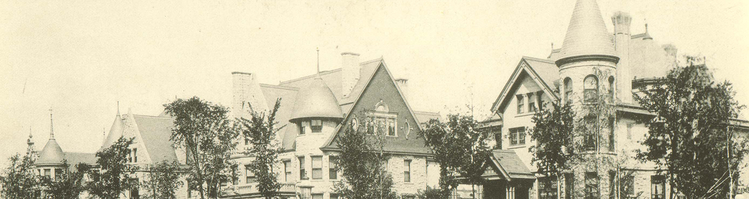
A research process accompanied the creation of the digital collection. The photographs were researched and indexed as part of the project to provide additional points of access. The high-resolution archival images made the research possible as they offered extensive detail and often helped in identifying the names of streets and businesses. Numerous online and print reference sources including Milwaukee city directories were consulted in the research process. The images are indexed by 12 broad neighborhoods (Far North Side, East Side etc.) as defined in the 1981 publication of the Department of City Development Discover Milwaukee: a great home town and by more detailed neighborhood boundaries outlined in the Milwaukee neighborhoods map. The map, published by DCD Information Center in 2000, includes 75 neighborhoods. In addition to indexing the images by neighborhood and subject terms, an effort was made to determine the address, date of construction, and name of architect, when appropriate. As the street names and house numbers in the city of Milwaukee were changed in 1930, the current addresses and pre-1930 addresses were recorded using Wright’s Street Guide Supplement to 1930 Milwaukee City Directory.
Credits
UWM Libraries would like to thank Judith Kenny, Professor of Geography at the University of Wisconsin-Milwaukee, for suggesting the theme for the project and contributing an article Picturing Milwaukee Neighborhoods.
UWM Libraries also would like to thank the Milwaukee County Highway Division, Milwaukee Map Service, and Wisconsin Electric Power Company (We Energies) for granting permission to use maps, to which they hold copyright.
Project Staff (2003)
Krystyna K. Matusiak, Digital Collections Librarian, 2001-2008, UWM Libraries
Student Assistants:
Jill Annitto, Helen Hermus, Ka Ying Hui, Derek Robinson, Bart Schmidt, John Sieracki, and Tim Blomquist
Map Scanning and Processing:
Patti Day, Digital Spatial Data Librarian, and Derek Robinson, American Geographical Society Library, UWM Libraries
Metadata Consultant:
Steve Miller, Head, Monographs Department, UWM Libraries
Other Contributors:
Patti Day, Digital Spatial Data Librarian, American Geographical Society Library, UWM Libraries; Leslie Heinrichs, Academic Archivist, Archives, UWM Libraries; Christel Maass, Academic Archivist, Archives, UWM Libraries