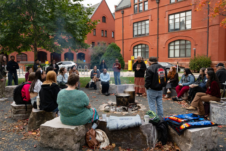
Electa Quinney Institute
Welcome to the Electa Quinney Institute for American Indian Education. Inspired by our namesake Electa Quinney, a Stockbridge Munsee Mohican and Wisconsin’s first teacher, the focus of the Institute is to strengthen and celebrate American Indian education at the local, regional and national level with strong connections to indigenous teaching practices around the globe. Through a generous gift of the Indian Community School Inc., the Electa Quinney Institute has endowed professorships in the College of Community Engagement & Professions with a strategic plan and vision for connecting American Indian programs at UWM with the Milwaukee and Wisconsin community.
Boozhoo / Bozho / Pōsōh / Aho / Shekóli / Koonamansi
Greetings in the languages of Ojibwe / Potawatomi / Menominee / Ho-Chunk / Oneida / Mohican
Land Acknowledgement
We acknowledge in Milwaukee that we are on traditional Potawatomi, Ho-Chunk and Menominee homeland along the southwest shores of Michigami, North America’s largest system of freshwater lakes, where the Milwaukee, Menominee and Kinnickinnic rivers meet and the people of Wisconsin’s sovereign Anishinaabe, Ho-Chunk, Menominee, Oneida and Mohican nations remain present.
More information can be found on the Land Acknowledgement page.
News
Events
- Apr6April 6, 2026, 10:00am - 11:00am
- Apr8April 8, 2026, 8:00am - 5:00pm
- Apr14April 14, 2026, 4:00pm - 6:00pm
- Apr15April 15, 2026, 8:00am - 5:00pm
- Apr16April 16, 2026, 3:30pm - 8:30pm