The American Geographical Society Library Digital Map Collection
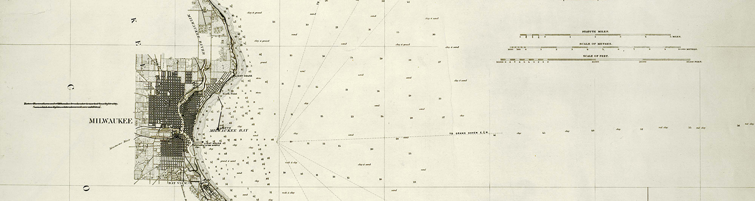
The American Geographical Society Library Digital Map Collection contains over 20,000 maps, ranging from early maps of Asia to historical maps of Wisconsin and Milwaukee, and other American cities, states, and national parks. The digital collection is under continuing development.