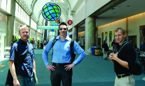
Jay Feiker, Jason Tilidetzke and Will Mobley
at the 2012 Esri User Conference
Through a UW-Milwaukee Student Activities Organization (SAO) travel grant, four UW-Milwaukee GIS students, Jay Feiker, Mike Kavalar, Will Mobley and I, were able to travel to San Diego for the 2012 Esri User Conference from Monday, July 23rd to Thursday, July 26th.
For anyone new to the conference, it can be overwhelming (but in a good way). When we arrived, the UC plenary session was in progress. Jack Dangermond was speaking to a max capacity audience. It was neat to see all the speakers; especially the SeaSketch project. There are so many informational and workshop sessions to attend, one must preemptively plan out exactly which sessions they will attend. The exhibit hall is where vendors showed off the latest advances in geo-spatial technologies. Additionally, Esri had stations to test their latest software (e.g., CityEngine, etc.), informational kiosks, and mini-sessions on GIS topics. The exhibit hall was filled with massive crowds; easily the busiest part of the conference. Oh, and let’s not forget the map room: hundreds of maps from GIS users across the world. It would take you hours to look at every map.
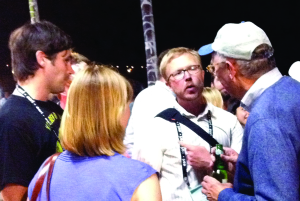
Emily Champagne, MMSD, and Jay Feiker chat with Esri founder ack Dangermond
After the daily conferences, our group would meet up with other GIS Wisconsinites at various places downtown. We had the chance to visit Petco Park (where the San Diego Padres play), Balboa Park and Coronado Island. Our last night there, we had the opportunity to attend a GIS party at the Hilton hotel: free food, drinks and appetizers for all conference attendees. Later that night, Jack Dangermond made an appearance, shaking hands and talking to random attendees. Jay Feiker was able to grab some of his time, explaining to him our group was from UW-Milwaukee. Immediately, Mr. Dangermond said, “do you know Bill Huxhold”? It was great to hear the founder of Esri knows UW-Milwaukee and Bill Huxhold.
Overall, I learned a lot from the conference. The sessions were extremely helpful in keeping us updated with current revelations in GIS. The way companies are utilizing GIS is mind-numbing. To talk with and see 15,000 people, all relating to GIS, was an unforgettable experience I hope to have again one day. I highly recommend anyone interested in GIS to go; it’s that good.
–Jason Tilidetzke