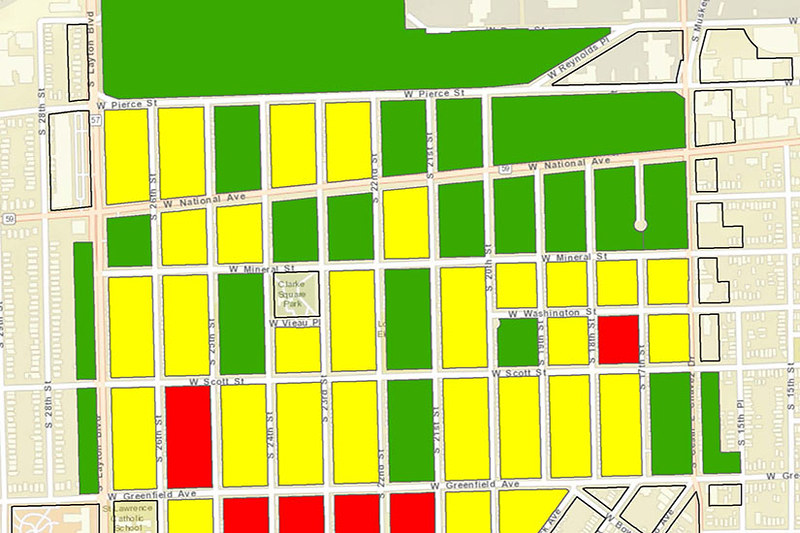
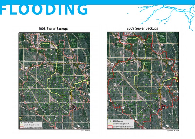
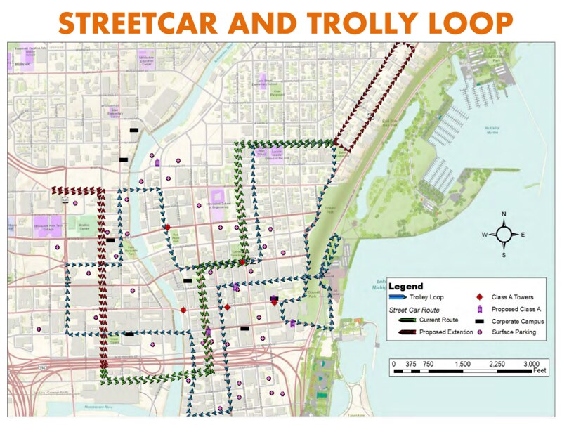
GIS is a powerful tool for planners and organizations to conduct spatial analysis. GIS courses in the Department of Urban Planning introduce students to fundamental spatial analysis concepts and allow students to apply these concepts in structured lab settings with commercially-available GIS software. Advanced courses allow students to develop internet-based GIS applications and analyze local data for a client-based GIS project.
Digitizing the RiverWalk (PDF)
Clarke Square Housing Project (PDF)
Biking on Milwaukee’s West Side (PDF)
Green Infrastructure (PDF)
Historical Streams (PDF)
MEGA Milwaukee Economic Gateway (PDF)
WOOF Milwaukee project (PDF)
Downtown Milwaukee: Reanimate (PDF)


